I had never been in a small plane before, much less had I taken an air tour of the disappearing wetlands. It was really difficult to see the coast in such rough shape. During Paddle Bayou Lafourche I learned that coastal erosion has slowed down, but only because the easiest land to erode is already gone.
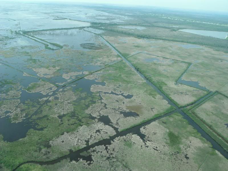
Nature does not make straight lines. Those oil and gas exploration and pipeline canals invite salt water intrusion and quick erosion. Louisiana is terrible at enforcing environmental regulations. The companies are required to fill in or plug those canals when they are done. They don't.
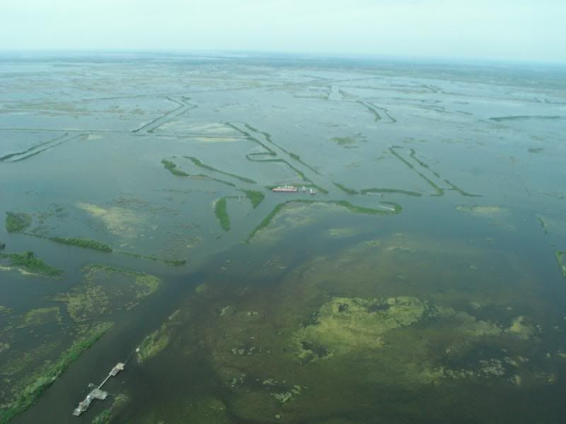
You can see where the pipelines were, and what it did to the landscape. This used to all be wetlands, not open water. This was really hard to see.
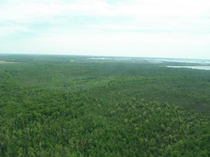
We passed over some healthy swamp at the end, which was a little bit encouraging, but also really tough to see the incredible contrast between what is thriving and what is gone.
After we were all back on the ground, we traveled to Pointe-au-Chenes to see some of the problems from the water with my favorite wetlands hosts, Donald and Theresa of the Pointe-au-Chien tribe. We went out on their boat, not even too far from the little strip of town that's left. I've been meaning to share these two images with you for a while--
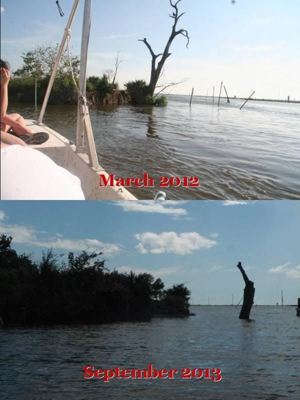
You can see the same tree from slightly different angles, but about a year and a half of erosion completely removed that tree from being on solid land. That's not high tide in the lower picture. That land is gone. It's open water.
Coastal erosion and wetlands degradation is frightening in South Louisiana. I'm really glad that I can be a small part of continuing to share that story.
Click to add description
- See more at:
http://smg.photobucket.com/user/fishius25/media/blog/trees_zpsfa924d7d.jpg.html?sort=4&o=13#sthash.lTbQpGM8.dpuf
No comments:
Post a Comment